Windrush Weather

Category: Commentary

  • The anticyclone is winning the battle, although with associated cloud

    The anticyclone is winning the battle, although with associated cloud

    Monday 27th.
    Sunday gave us a cool and cloudy start although it brightened up in the afternoon, however, the northwesterly breeze and limited sunshine meant a cooler day. The maximum of 21.6C was logged at 15.54 being 1.1C below average. The UV level was also much lower with a value of 4.1, the second lowest after the showery day on the 6th, rated as ‘Medium’ strength. It was the nineteenth dry day this month.

    The past night was unexpectedly cool that saw the thermometer drop away to reach a minimum of 8.2C at 06.04 That was just after the time the sun was supposed to rise at 05.24, however, cloud obscured any sunshine. This low was 3.7C below my long-term average.

    Monday arrived with total cloud cover, which looking at the back track of the cloud radar indicated a relatively clear night until the cloud eased down just after 05.00, which is why the temperature dropped so low for July. There was a modest recovery in the temperature to reach 12.5C by 08.00.

    The high pressure has begun to reassert itself with a rise of 3mb since yesterday. However, the track of the air stream is around its western flank then dropping down over the UK, coming from a cooler northwesterly direction. This is a long track over the ocean, picking up moisture on its way, hence the variable cloud cover over the next few days. The other factor is that the centre of the Azores High is in mid-Atlantic rather than over the UK, when it would have meant much clearer air and higher temperatures.

    With very little rain, even in the form of showers, the ground continues to dry out which has seen the rate of evaporation reduce to around 2mm per day when earlier in the month it was up to 6mm a day. The rainfall for July currently stands at 20.8mm with the equivalent loss of rainfall through evaporation from ground sources now totalling 102.0mm.

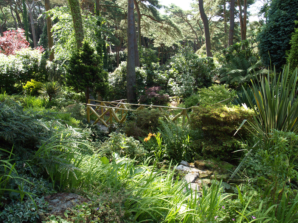
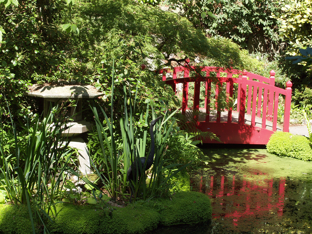
    An example of the flowers at the Compton Acres Gardens near Poole.

  • Extensive cloud cover on Sunday

    Extensive cloud cover on Sunday

    Sunday 27th.
    The variable cloud on Saturday morning limited the initial rise in temperature that at 11.30 brought a very brief shower of light drizzle that was not measurable. By the afternoon, the cloud diminished considerably, from time to time, that allowed the sunshine to raise the thermometer to a maximum of 24.9C by 17.13, being 2.2C above my long-term average. The variable cloud limited the UV strength with a value of 5.4 at its maximum, logged at 15.40 in a brighter period, the lowest for three days being at the bottom end of ‘High’. Once again overnight cloud cover gave us a mild night with the thermometer not dropping below 13.7C, logged at 05.48, being 1.8C above average.

    There was a very brief period of brightness before 06.00 on Sunday but the encroaching cloud soon produced total cover and blocked out any early morning sunshine. As a result the air temperature has only risen a couple of degrees to reach 15.6C by 08.00. The conditions have been calm with the anemometer only very slowly rotating at up to 2mph, but often stationary.

    The Azores High has retreated a little and made a slight change in its position. This will bring an airstream around its northern flank, then down across the UK from a northwesterly direction, picking up moisture from the Atlantic as it travels. Cloud cover, combined with this slightly cooler wind direction will limit the warmth on Sunday to a maximum around a degree or two below my long-term average for July of 22.7C. To the north and east of the UK are two large areas of low pressure that are competing for attention against the Azores High. The anticyclone is likely to hold on to its position for a few more days so more calm and sunny days ahead are likely next week with the temperature probably rising above average again.

    Compton Gardens has 5 main themed gardens joined by a series of links, including a sub-tropical area.

  • Overcast again with possibility of light showers before midday.

    Overcast again with possibility of light showers before midday.

    Friday brought intense sunshine that resulted in the temperature steadily rising all day to reach a maximum of 27.7C at 16.12, which was exactly 5C above my long-term average. It was also the hottest day since the last day of the heatwave on the 13th being just above the heatwave threshold for Wiltshire of 27C. The UV level rose to 7.1, the strongest for a week and into the ‘Very High” category. The persistent overnight cloud cover meant a very mild night with a minimum of 15.9C at 06.36 early Saturday.

    The first look at Saturday revealed thick cloud cover. The back track of the cloud and rain radar showed a warm front had passed our way in the early hours that brought low cloud and drizzle between 05.30 and 06.00, which amounted to 0.1mm. This amount was not sufficient to trigger the automatic rain gauge that works on increments of 0.2mm, which is why I continue to use the standard Met Office 5″ copper rain gauge that uses a measuring jar inscribed with 0.1mm intervals.

    The high pressure has retreated a little that will allow another weather front, this time a cold front, to pass over the UK during Saturday morning. There is a possibility that this front might produce a light shower or two but it is already fragmenting over the west country. The barometric pressure has dropped 3mb since yesterday, however, it is likely to be the dominant feature driving our weather over the next few days with sunny intervals, variable cloud and maxima around or just above average for July.

    Compton Acres, where I captured this wild life, is a “hidden treasure in Poole with 10 acres of stunning gardens filled with shrubs, trees and flowers”.

  • Heat returns today, close to the heatwave threshold, but only for one day!

    Heat returns today, close to the heatwave threshold, but only for one day!

    The warmth began to return on Thursday with a bright morning and sunny intervals that had lifted the thermometer to a peak just after midday, rather than late afternoon as last week, with a maximum of 22.3C at 12.25, being just below my long-term average (-0.4C). This change in pattern was the result of variable cloud drifting across after that time, which restricted the sunshine and saw the temperature plateau around 21C until early evening at 20.00, after that time the thermometer then began to ease downwards.

    The anemometer came to a standstill at 20.57 Thursday evening and has been stationary up to the time of writing this report so that is almost 12 hours of still conditions. The cloud overnight meant another mild night which saw the temperature only fall to 14.3C at 05.48, just after sunrise in Marlborough at 05.20, being 2.4C above average. This also coincided with the cloud cover beginning to thin around sunrise that allowed weak sunshine at first then strong sunshine after 07.30 that had pushed the thermometer to 20.3C by 08.00, which made it the warmest start to a day at that time since the 17th.

    Friday brought the beginning of another hot period with the thermometer likely to reach its highest for a fortnight, which means it could approach the heatwave threshold of 27C, but only for one day! The next few days will continue to be hot.

    The eastern section of the anticyclone has toppled further south that has resulted in the air stream coming from the west today, a less cold direction than the northerly track of the last two days. The increase in temperature is also due to the calm conditions as the anticyclone has continued to build over the UK, which will see the calm conditions continue and little chance of a shower. The barometric pressure has risen another 2mb since Thursday with a reading of 1020.mb at 08.00, the highest pressure since the 11th, which was in the middle of the recent heatwave.

    Compton Acres is a large privately owned garden in Poole, Dorset. It was founded in 1920 by Thomas William Simpson, an entrepreneur who had become wealthy through the manufacture of margarine.

  • Light cloud and a gentle breeze after coolest day for a month on Wednesday

    Light cloud and a gentle breeze after coolest day for a month on Wednesday

    The website upgrade continued to provide problems yesterday but hopefully all will be well today! I rely on my website manager to look after the site as being old and not IT proficient, I just fill in the blanks! He prioritised sorting out the problems, for which I am grateful.

    Wednesday was another of the predominantly cloudy days that combined with a light breeze from the north, a cool direction, restricted the rise in temperature to a maximum of only 20.8C at 14.14. In fact the peak temperature was not only 1.9C below average but also the coolest day this month and even as far back as the 9th of June. Once again the overcast conditions meant another mild night with the thermometer not dropping below 13.1C, being 1.2C above average, logged in the early hours of Thursday at 04.32.

    Thursday revealed that we are still under cloudy conditions that are likely to persist all day with minimal sunshine.

    At the moment the ridge of high pressure from the Azores High is extending over the UK, which is resulting in the air flow around its western boundary, then flowing around the top edge to the north of Scotland before descending southwards on a light northerly breeze today. This long track over the ocean is allowing it to pick up moisture on its travels, this the considerable cloud. There are strong indications that the ridge will continue to topple southwards as the centre of the high moves a little further north in the next twenty-four hours. This modest reposition will see the breeze change from north to northwest overnight and west tomorrow. This significant change will result in much more sunshine on Friday and temperatures recovering significantly to what could result in a hot day. The barometric pressure read 1018.5mb at 08.00, the highest pressure for a week as the anticyclone continues to build.

    Compton Acres was constructed in 1920, being recognised as one of the most important ornamental gardens in England. The 10 acre garden was created on an area of Dorset heathland next to Poole.