Windrush Weather

Category: Commentary

  • Heat continues to build on Monday after a cool start

    Heat continues to build on Monday after a cool start

    Monday 11th August.
    The temperature soared higher than expected on Sunday with a maximum of 27.4C, logged at 16.31 under strong sunshine. In fact the heatwave condition of 27.0C was reached at 16.14 with such a peak not expected until today, Monday. The high was a significant 5.3C above my long-term August average and the hottest day since 25th July (27.7C). Looking at the back track of temperature it was a steady increase all day with a slight increase of cloud around midday that tempered the rise for a couple of hours. Under a clear sky the thermometer dropped to a minimum of 9.7C at 05.31 early Monday, just before sunrise in Marlborough at 05.46. However this halt to the decline in temperature also coincided with variable, high cloud drifting in from the west just after 05.00.

    The start to Monday revealed high, thin cloud that initially tempered the rise in temperature, however, bursts of strong sunshine before 08.00 meant the thermometer had risen to 17.7C by 08.00, the warmest start to a day at that time since 17th July (21.2C). More variable cloud arrived after 08.15.

    The high pressure has relocated a little further east that will produce an air stream from the southeast, which will waft hot and humid air from the Continent. Over the next day or two the depression in the eastern Atlantic, just off the Bay of Biscay, will edge northwards. The result will be a combination of the air circulating clockwise around the anticyclone combining with the anticlockwise rotation of air around the depression, which will produce even higher maxima that will confirm an official Heatwave has occurred.

    The heatwave threshold for the Marlborough area is 27C. The maximum yesterday was above that figure, which will happen again today and also tomorrow. Thus we are technically experiencing a heatwave, which is described as three consecutive days with temperatures rising above the heatwave threshold. The original heatwave thresholds were based on the reference climate period of 1981-2010 and were intended to be flexible and revised in the light of climate change, therefore the heatwave thresholds were revised in 2022, using the most recent 1991-2020 climate averaging period, with the local threshold temperature rising from 26C to 27C. The review saw six counties move from 27C to 28C, one from 26C to 27C and one from 25C to 26C, the areas changed were in the south of the UK and the Midlands.

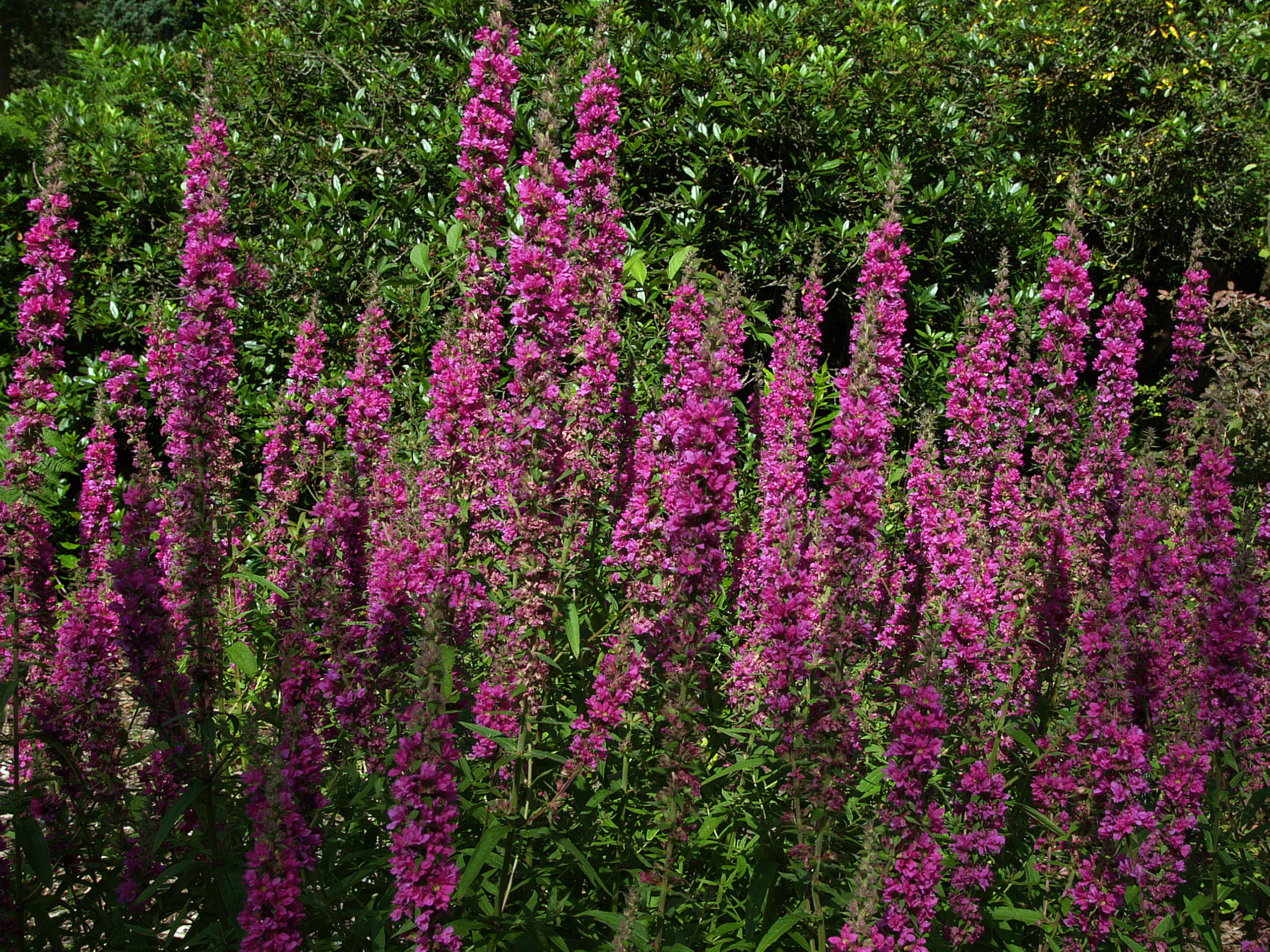
    The Savill Garden is Grade 1 listed on the Register of Historic Parks and Gardens.

    Update:
    26C at 11.25
    27C at 12.15
    28C at 13.37
    29C at 14.29

  • Heatwave conditions arrived today!

    Heatwave conditions arrived today!

    Sunday 10th August.
    For the fourth day in succession the maximum was little different to the three previous days with 23.8C, 23.2C, 23.3C and 23.5C successively, the latter logged at 15.45 on Saturday afternoon, which was 1.4C above average. The morning produced variable cloud cover but that cleared around midday with the UV level of 6.3 being at the top end of the ‘High’ category for the third successive day. The strength of the wind was notable, being very gusty in the afternoon with a peak of 22mph from a westerly direction.

    The moon was exceptionally clear again last night in a cloudless sky that allowed the warmth to dissipate into the atmosphere producing a minimum of 10.3C at 04.55 early Sunday, which was 0.9C below average. Unlike previous early mornings, radiation fog was observed at 06.30 in the River Og valley that began to drift northwards then rose above the higher ground before evaporating by 07.00.

    The sunshine on Sunday at first was muted as it shone through thin high cloud on the eastern horizon but gained strength as it rose with a result the temperature at 08.00 was logged at 15.8C.

    The centre of the high pressure is currently over the English Channel with a barometric pressure locally at 08.00 reading 1028.8mb, the highest pressure since the 4th July. As a result it will be a much calmer day, the wind having fallen out at 01.15 very early on Sunday and still no movement by 08.00. The air movement today will mostly come from the southwest, however, as the anticyclone relocates across the Channel to the Content in the next twenty-four hours it will result in the wind backing into the southeast, which will herald the significant increase in temperature over the next few days as it wafts in heat from the Continent. It is likely that heatwave conditions will be established for several days with maxima up to or exceeding the threshold of 27C for Wiltshire.

    The Savill Garden in Windsor Great Park includes the New Zealand Garden, the Queen Elizabeth Temperate House and trees planted by members of the Royal Family.

    Update at 16.50: Heatwave threshold of 27C reached at 16.15 with a peak of 27.4C at 16.31. It needs three consecutive days of maxima equal to or above 27C to be classed as a heatwave. There is no doubt those conditions will be met in the next two days.

  • High pressure building with heatwave on the horizon after ‘Sturgeon’ moon last night

    High pressure building with heatwave on the horizon after ‘Sturgeon’ moon last night

    Saturday 9th August
    It is interesting to see how similar the maximum temperatures have been over the last three days with little variation, just 0.6C, as the peak on Friday was 23.3C, logged at 16.23, which was 1.2C above average. That feature is about to change over the next week. Initially the sky was clear overnight when the full moon was crystal clear, called a Sturgeon Moon, explanation below. The lack of cloud initially allowed the thermometer to steadily fall away to reach a minimum of 9.2C at 05.46, early Saturday morning, just after sunrise in Marlborough at 05.43.

    Sunshine briefly greeted the new day on Saturday as shortly after sunrise a clearly defined bank of cloud, seen on the radar, drifted across that by 06.30 left just a little brightness on the eastern horizon with the sun completely obscured. The wind fell out just after midnight and was still calm at 08.00, however, when there is any air movement it will be from the west. The bank of cloud is likely to ease away before midday when the temperature will begin to rise significantly.

    The high pressure to the west has again begun to send a ridge over the UK that by Sunday will see it centred over the UK with a result the temperature will begin to rise well above the average. As we move into next week the arrival of tropical storm Dexter from the western Atlantic, will, combined with the high pressure, then a little more to the east, waft in extreme heat from the Continent.

    Sturgeon Moon: the final full moon of the summer was dubbed the Sturgeon Moon by northeastern Native American tribes because of the fish that were much larger and more easily caught at this time.

    Savill Garden: the new entrance to this garden was built in 2006 and features a grid shell construction inspired by a seashell. The building is a single cell space under a leaf-shaped roof made of sustainable timber.

  • Fine weather ahead from today

    Fine weather ahead from today

    Friday 8th August
    Thursday morning saw the thermometer steadily rise to a peak of 23.2C early in the afternoon, rather than later in the day as usual in the summer, due to greater cloud cover that had drifted across after around 13.30. The peak of 23.2C, logged at 13.46, was 1.1C above my long-term average. The past night was also mild and above average at +1.7C with a low of 12.9C logged at 05.12 early Friday.

    The start to Friday revealed the day had begin with sunshine, but muted, due to thin, high cloud, however, after 08.00 the sun began to gain in strength that had lifted the temperature to 16.8C by that time, which made it the warmest start to a day at that time this month. The current radar indicates that a thicker band of cloud could limit sunshine for a time mid-morning before drifting away southeastwards.

    The high pressure has begun to build again so much fine weather ahead being a couple of degrees above average over the weekend. From Sunday, temperatures will begin to rise across southern parts of the UK, as the remnants of Tropical Storm Dexter, draws warm air up from the southwest across the UK

    There is considerable confidence “that temperatures will increase markedly by the start of next week, reaching the low 30s Celsius in parts of England on Monday and perhaps the mid 30s in a few places on Tuesday. However, the length of this warm spell is still uncertain, and it is possible that high temperatures could persist further into next week, particularly in the south.” Taken from a Met Office email this morning.

    The Savill Garden is an enclosed part of Windsor Great Park, created by Sir Eric Savill in the 1930s. It is managed by the Crown Estate.

  • Weather fronts return today as the weather pattern alternates

    Weather fronts return today as the weather pattern alternates

    The strong sunshine on Wednesday returned the maximum temperature back above my long-term average with a peak of 23.8C at 16.42 being +1.6C. The UV level was in the ‘High’ category again, exactly as on Tuesday, although after the recent light rain on Monday, the evaporation rate returned to in excess of 4mm per day. Also returned to above average was the overnight minimum of 13.6C logged at 05.32 early Thursday, just before the sunrise at 05.39 in Marlborough. The humidity level was very low in the strong sunshine during the afternoon with a low of 38.5% logged at 15.44.

    Thursday began with weak sunshine from the eastern horizon but by 06.30 this had been obscured by thickening cloud ahead of two weather fronts today. There could be glimpses of brief sunshine between breaks in the cloud at first. A weak warm front precedes a cold front that will mean a predominantly cloudy day with the possibility of a light rain shower, with minimal quantity. The air stream is from the southwest again meaning we are under the influence of the Atlantic, with modest temperatures and higher humidity. A brief shower passed along the Pewsey Vale, just south of Marlborough, at 07.00.

    The ridge of high pressure that gave us the fine weather on Wednesday has receded westwards, as a result the depression near Iceland has taken the opportunity to dominate our weather today. The barometric pressure has fallen a significant 10mb since yesterday with a reading of 1015.9mb at 08.00, the lowest this month. However, by tomorrow we will see the high pressure begin to reassert itself that is likely to be with us well into next week with temperatures increasing, likely to very high early next week, as the pressure builds again.

    The Savill Garden is one of “Britain’s greatest ornamental gardens”. Commissioned by George V and created by Sir Eric Savill in 1932.