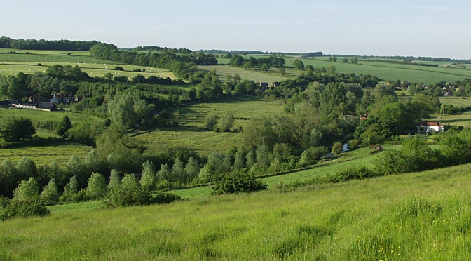
The River Kennet flowing through Stitchcombe east of Marlborough
Author: Eric Gilbert
-
Coolest night for six weeks
With the wind coming from the north-west and clearing skies at night it is to be expected that we experience cooler nights as well as depressed maxima. Just before dawn on the 16th the thermometer dropped to 7.8C, the coldest for six weeks.
UV values are also falling as the sun’s strength weakens. The index has dropped from ‘Very High’ to ‘High’. -
Above average rainfall after 11 days
The rainfall for the past 24 hours was 10.1mm. After just eleven days in August the total rainfall of 65mm exceeds the 30-year average for Marlborough. The two records for August are just 5mm of rainfall in 1995 and 140mm in 1992.
-
Ex Hurricane Bertha
The worst of the projected storm passed by Marlborough. With heavy rainfall for a couple of hours, starting just before 0600, the rainfall total amounted to 18mm and with a maximum gust of wind at 1720 measuring 35mph, it was not as bad as had been projected. Shortly after midday the skies began to break as the barometric pressure started to rise after a continuous fall of 20 millibars. A reading of 991mb was the lowest since early March 2014.
-
Lull before the storm?
With a maximum wind gust of only 8mph yesterday it was the calmest day since January 2014. Is this the lull before the storm projected for the weekend? The maximum reached was 24C accompanied by much sunshine.