Windrush Weather

Author: Eric Gilbert

  • Significant changes today and for the weekend

    Significant changes today and for the weekend

    Tuesday was the last of the very warm and dry days that saw the thermometer rise to 21.4C at 16.01 being 4.1C above my long-term average. It was the last of the consecutive dry days that also saw the UV value rise to 5.8, the highest this month and at the top end of the ‘High’ category. The cloud began to thicken late afternoon and considerably over night that gave us a very mild night with the thermometer not sinking below 10.8C being the second warmest this month and 3.8C above average.

    Wednesday after dawn revealed a damp start to the new day, quite a contrast to previous sunny mornings under the anticyclone. A trough of low pressure passed our way during the early hours that brought the thick cloud and light rain and triggered the automatic rain gauge at 03.22. The rain was light and only amounted to 2.2mm, but very welcome for gardeners, after the numerous dry days. This was the wettest day since 22nd April.

    A weather front will descend southwards over the UK today and maintain the cloudy conditions with possible sunny intervals this afternoon. With the current unstable atmosphere, there is the possibility of thunderstorms breaking out this afternoon.

    The drier and sunny conditions will return for Thursday and Friday as a temporary ridge of high pressure exerts itself. However, by the weekend the weather pattern will become cooler and unsettled with rain likely at times as the Jet Stream is forecast to stream across the Atlantic direct to the UK bringing the changeable weather for the next few days.

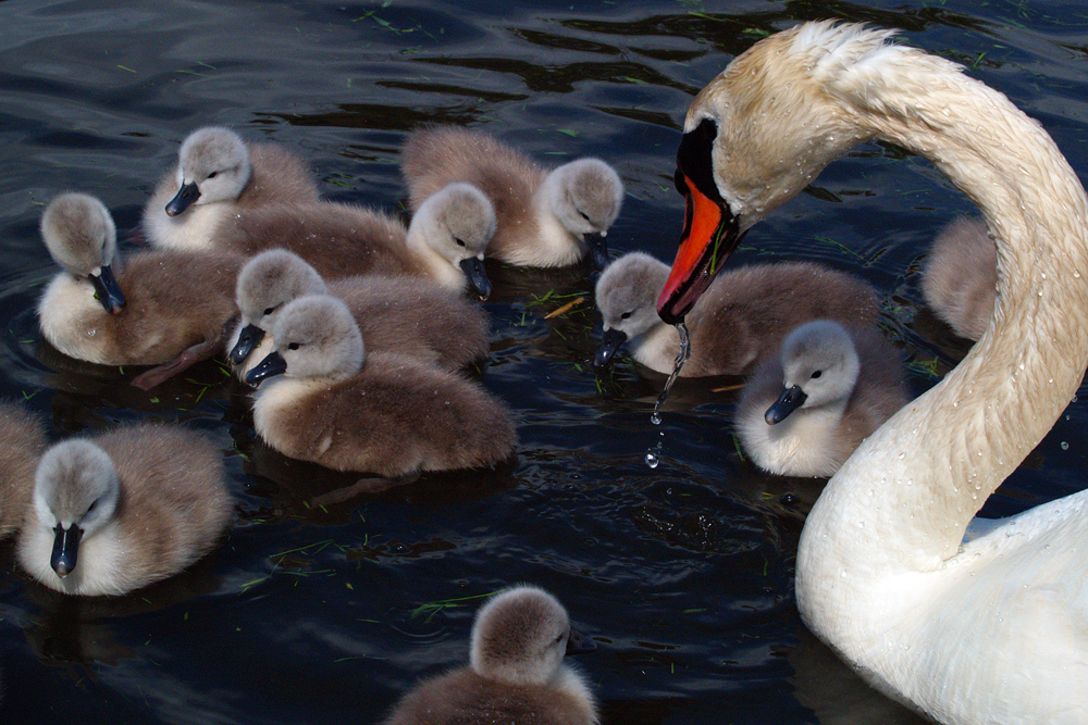
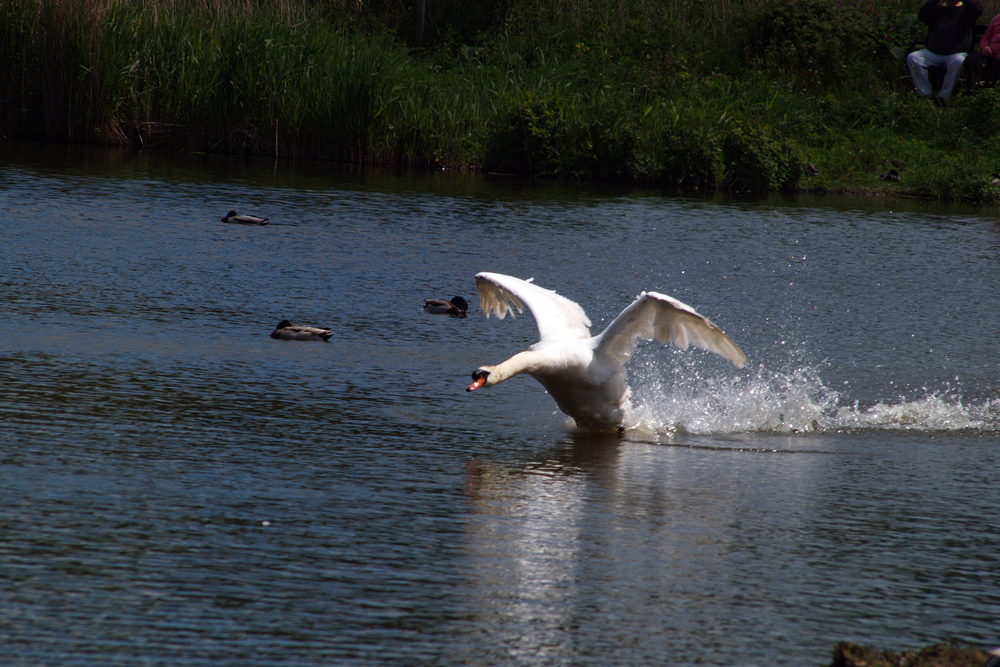
    Abbotsbury Swannery: Swans are one of the heaviest flying birds.
  • Fine today but slight disturbance tomorrow – with possible light rain?

    Fine today but slight disturbance tomorrow – with possible light rain?

    After a very overcast morning on Monday the sun broke through late afternoon producing welcome sunshine that lifted the temperature to 19.3C by 17.11, being exactly 2C above average. As on previous nights, the cool air stream and clear skies produced a very chilly night again that saw the thermometer very steadily fall away to reach a low of 3.2C at 05.24, just after sunrise in Marlborough at 05.02, being 3.9C below my long-term average. Thankfully, no cloud had drifted across from the North Sea in the early hours to spoil the sunrise.

    Tuesday brought us a beautiful start to the new day without any cloud, clear blue skies, that saw the sun lift the temperature to 12.8C by 08.00. Later today we will see the first of the slow changes in our weather pattern after so many dry and warm days. The wind late afternoon is likely to back from the recent, persistent northeasterly, to north and northwest as the centre of the high relocates northwards allowing a very different day on Wednesday to creep in.

    The anticyclone is still holding firm for the next three days but a small disturbance will bring us a more cloudy sky on Wednesday with the possibility of light showers, quantity unsure.

    There is a major variation in the Spring rainfall this year compared to previous years. The total rainfall for the Spring 2025 season is just 18.5mm, that is up to today and including today, when the average over 41 years is 178mm. The previous ‘dry’ Spring was in 2011 with 65mm and the wettest was in 2000 with 279mm.

    Sunshine will return on Thursday and Friday before the major change in our weather pattern arrives on Saturday, in time for the Bank Holiday!

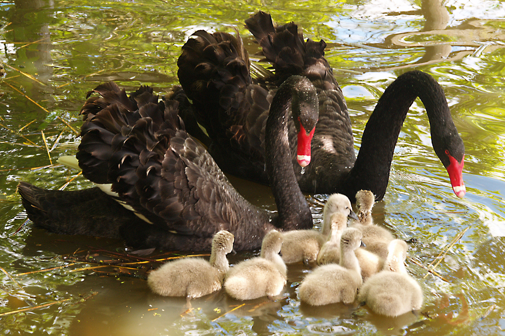
    Abbotsbury Swannery: Throughout June and July the swans moult when the feathers are then collected to make helmets for the Queen’s bodyguards. Lloyds of London also use quills from Abbotsbury swan feathers to register insurance losses in their ‘Doom’ book.

  • Slow change in our weather afoot

    Slow change in our weather afoot

    Although the maximum of 18.4C on Sunday, logged at 15.52, was above average (+1.1C) the overnight low of 6.2C, logged at 02.58, was below average (-0.8C). These statistics follow the pattern for recent days with the high just above average and the low just below average due to the sunny days and clearer skies initially overnight before the cool air and cloud arrives in the early hours. The low matched the arrival of the cloud when I looked at the cloud radar from just after midnight.

    Once again the cool, cloudy air arrived around 03.00 early Monday having drifted in from the cool North Sea, picking up moisture on its travels. The forecast is for the cloud to take longer to clear today with brighter, sunnier weather towards midday although the temperature had recovered to 10.4C by 08.00.

    The high pressure is still very much in charge although as the week progresses we will see more cloud, less sunshine and possible isolated showers by Wednesday as the barometric pressure slowly ebbs away. The pressure at 08.00 was very similar to yesterday at 1021.3mb. The Jet Steam shows signs of fragmenting and by Saturday arriving from the west rather looping north around the UK, which is likely to herald the arrival of weather systems from the Atlantic.

    Abbotsbury Swannery: The swannery claims to be the only remaining managed colony of mute swans in the world and is privately owned. The Fleet lagoon is 8 miles long with the Swannery at its western end. The nests are constructed by the swineherd from the nearby reed beds.

  • A minimum of 2.2C was very cool, I didn’t see that coming!

    A minimum of 2.2C was very cool, I didn’t see that coming!

    The numerous hours of sunshine on Saturday raised the temperature to 21.1C late afternoon at 16.59, however, out of the sun and in the brisk breeze it felt cool at times. It was the 15th dry day this month with another 4.3mm of equivalent rainfall lost through evaporation from ground sources and plant life. The forecast for the minimum temperature overnight was around 5C but to my surprise, on reading the data log this morning, I discovered that the thermometer had dropped very low to just 2.2C at 05.31, which was 4.8C below my long-term average. Looking back at the radar trace it clearly showed the thick, low cloud drifting in from the cold North Sea around 05.00, which ties in with the minimum shortly afterwards and the humidity increasing at that time.

    Sunday after dawn revealed that the thin, low cloud had descended to form fog that limited visibility to around 300m. The visibility slowly began to recover shortly after 07.00 and by 08.00 had totally cleared. At that time the thermometer had risen significantly to 8.6C but the humidity was still high at 94.2%. As the sun’s strength builds and works on the cloud there is hope that today the cloud will thin and burn off as it retreats back towards the east coast giving us more warm, sunny weather.

    The high pressure centre is beginning to move closer to Iceland though still dominating our weather for the next three days. However, it is the first sign that this week we will see a change in the weather pattern, with the first indications from Wednesday and more pronounced from Thursday onwards as the weather will become unsettled as the pressure drops further. After so many days with a persistent northeasterly, the wind will slowly change direction to north and probably northwest from Wednesday. The barometric pressure at 08.00 read 1021.7mb, down 4mb from its high last Thursday.

    Abbotsbury Swannery: The swans are based in the western end of the Fleet lagoon, which is the largest lagoon in England. At the height of the season there are 800 to 900 swans, which the swineherd feeds twice a day. The lagoon is open to the sea at its eastern end so the salinity of the water decreases further west, where the swans are based. The Benedictine monks didn’t eat meat but the occasional cygnet was consumed that ate the eelgrass, which gave a fishy taste and was acceptable!

  • Cloud arrived very early this morning

    Cloud arrived very early this morning

    The sun’s return for much of the day on Friday was very welcome and meant an above average temperature with a maximum of 21.1C logged at 17.13 being +3.8C, after the cool, cloudy day on Thursday. The dry spell continued with the equivalent of another 5mm of rainfall lost through evaporation from ground sources and plant life. The dominant anticyclone meant a continuation of the brisk, cool northeasterly breeze, a price to pay for the dry, sunny weather that we have enjoyed for so many days, with the high pressure resident in its current position.

    Back tracking the cloud radar this morning it was noticeable that the cloud began to drift back across our area, from the North Sea, shortly after midnight, which corresponds with the minimum temperature occurring in the very early hours, rather than much later, around sunrise recently, when a minimum of 8.2C was logged at 01.25, thus a much milder night not being under many hours of clear skies. It was the mildest night since the 12th being 1.1C above my long-term average.

    The start to Saturday revealed the total cloud cover that was relatively thin and high. The cloud radar showed the cloud drifting as far west as Devon in the early hours and just beginning to thin over Plymouth at 08.00. At that time there was evidence of some brightness here, so we should get some warm sunshine by midmorning or earlier, as the cloud thins and disperses, retreating back eastwards. The air flow starts around the north of Iceland, drifts down the west coast of Scandinavia and then bends west across the UK. That is a long track across cool water picking up moisture as it travels.

    There is increasing confidence in the projected Jet Steam track, which is forecast to begin to fragment and change its direction, probably from as early as Thursday next week. Therefore, by Friday there is likely to be a significant change in our weather after the many consecutive dry and sunny days, with the possibility of some precipitation.

    Thankfully, the problem with the restricted width of the data pages on this website has been resolved so they are now full width on each page.

    Abbotsbury Swannery image: I mentioned yesterday that the early monks farmed the swans to produce food for their lavish banquets, however, I heard this morning on a Radio 4 programme, in a conversation with the Swan Keeper, that they only ate the tender cygnets. There was also the factor that Swans drank the brackish water whereas the cygnets only drank the fresh water and ate eel grass, so presumably much more to their taste.