Windrush Weather

Author: Eric Gilbert

  • Unsettled weather arrives but minimal rainfall last night

    Unsettled weather arrives but minimal rainfall last night

    The predominantly cloudy day on Saturday limited the rise in temperature from any sunshine but the much warmer breeze from the west did allow the thermometer to rise to a maximum of 18.5C at 13.29 before cloud thickened, being 1.2C above my long-term average. The past night was mild, thanks to the passage of two weather fronts and their associated cloud that meant the thermometer did not drop below 12.3C, logged at 03.58, being a significant 5.3C above average. The cold then warm weather fronts did not produce much precipitation, a miserable 1.3mm, disappointing for gardeners.

    The rainfall total for May now stands at just 8.1mm against the 41-year average of 60.4mm. Although the forecast is for unsettled weather this coming week there is not much optimism for any substantial rainfall at the moment, light rain on Monday and Tuesday is likely.

    Sunday after dawn revealed total cloud cover from the hang-back of cloud associated with the weather fronts. However, on the strike of 8 o’clock, the sun broke through and as the cloud thins thi morning, we should have a mainly sunny and warm day.

    The low point of the barometric pressure was reached in the early hours with a minimum pressure of 1006.8mb, logged at 05.45, being the lowest pressure all month. There is now a battle between the depression just to the north of Scotland and an anticyclone to the southwest with the winds being hustled from the west between the two due to the considerable pressure gradient, the wind strength will increase this afternoon. The pressure has already begun to rise as the anticyclone begins to assert itself with the battle continuing tomorrow.

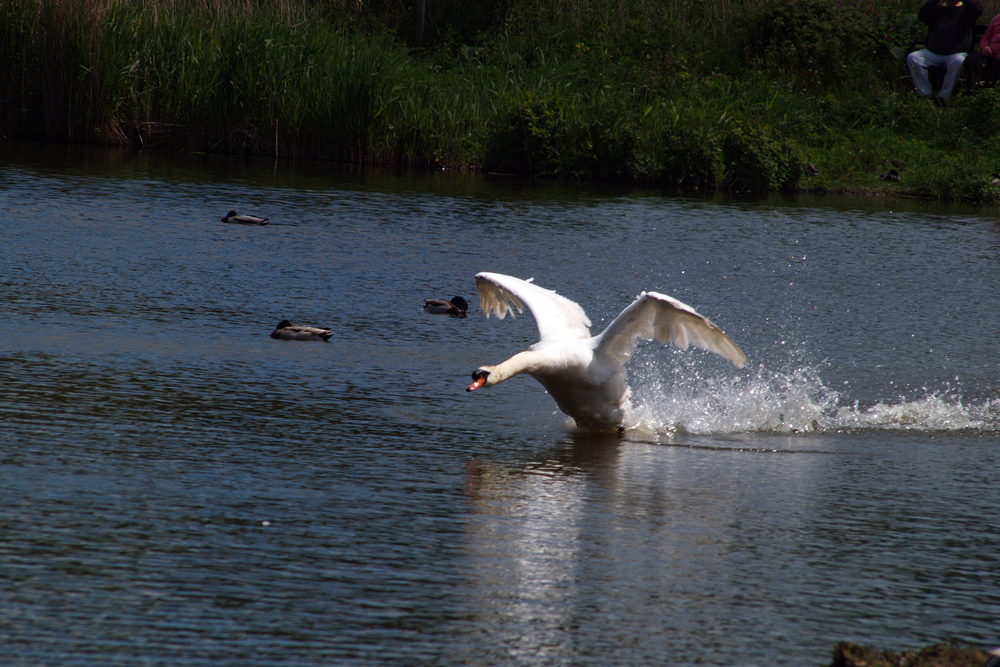
    The images for the next week or so were taken at the extensive gardens of Bowood near Calne, with the rhododendrons in full bloom.

  • It’s all change today!

    It’s all change today!

    Friday gave us the last of the very warm and sunny days that saw the thermometer rise to a peak of 20.8C late in the afternoon at 17.34, which was 3.5C above average. It was the second day that the UV level rose to a peak of ‘Very High’ as occurred on Thursday, but we are not far off the longest day so under strong sunshine this UV level is to be expected. A weather front crossed the area overnight that under the thick cloud cover produced a mild night, in fact the warmest night this month, with a minimum of 12.4C logged at 03.23 being 5.4C above my long-term average.

    Once again the main rain area avoided Marlborough during the early hours with just 0.4mm that triggered the automatic rain gauge at 02.17.

    Thanks to the back end of the weather front, Saturday began with thick cloud cover, however, the significant feature is that the wind is coming from the west after a southwesterly direction later on Friday. This is a direction not seen for over a month after the persistent northeasterlies that dominated most of May. The temperature at 08.00 was 15.2C making it the warmest start to a day this month at that time.

    The next few days will be dominated by unsettled weather as we come under the control of low pressure systems arriving from the Atlantic. Currently, the centre of the depression is between Ireland and Iceland, hence the wind direction from a westerly quadrant today as the air moves around it in an anticlockwise direction. The barometric pressure has fallen to its lowest since the 12th having dropped 8mb since yesterday with a reading of 1012.9mb at 08.00. Two weather fronts are forecast to pass over the UK in the next twenty-four hours so sunshine and possibly light showers overnight.

  • Ridge of high pressure dissipates today

    Ridge of high pressure dissipates today

    Thursday brought the penultimate dry and sunny day that saw the thermometer rise to a maximum of 18.2C early in the afternoon, between bursts of sunshine, being 0.9C above my long-term average. During the strong sunshine, between 13.13 and 13.15, the UV level rose to a value of 6 being in the ‘Very High’ category for the first time this year. With clearing skies again overnight, after the cold front had passed through, the warmth dissipated into the atmosphere under minimal cloud cover so that by 05.14 a very low temperature for May, of 1.9C, was logged being a significant 5.1C below my long-term average.

    The start to a new day on Friday revealed broken light cloud cover that raised the temperature to 12.7C by 08.00.

    This will be the last day under a high pressure system, which will slowly dissipate during daylight hours as Atlantic weather systems make their way towards the UK. A warm front is forecast to reach the western approaches during the evening bringing cloud that might produce a little rain overnight, quantity unsure. This will herald the arrival of unsettled weather over the weekend and into next week with winds for the first time for a month coming from the southwest rather than the recent persistent cool northeasterly breeze.

    It was reported yesterday that the recent warm weather had resulted in a ‘marine heatwave’ in the seas around the UK and Ireland with some areas now 4C warmer than normal, with potential implications for marine life. The heatwave is most intense off the west coast of Ireland as well as pockets off the coast of Devon and Cornwall. The sea temperatures were the highest recorded during April and May since monitoring began 45 years ago.

    Abbotsbury Swannery: While the swannery is primarily home to mute swans, black swans do arrive and stay, with occasional breeding, as evidence in my image taken in 2006. I understand that black swans are native to Australia and New Zealand.

  • Heavy rain around yesterday but not much over Marlborough

    Heavy rain around yesterday but not much over Marlborough

    There was heavy rain to the west of us and heavy rain to the east of us but little over Marlborough yesterday. The rain and thunderstorm radar show a rash of storms developing to the northeast of our area and drifting southwestwards, just after 12.30, with torrential five miles outside of Marlborough at 12.50, I was there at the time, but little over Marlborough. During the course of the afternoon further storms brought heavy rain further to the west over the Devizes area and Hungerford to the east. Watching the rain radar, repeatedly the main rainfall was deflected around Marlborough. This pattern I have seen on many previous occasions when storms occur, not rain bearing weather fronts, and wonder if the topography of our local area is an element to cause this repeated pattern. The total rainfall yesterday was just 3.1mm, which took the monthly total to 6.4mm against the 41-year average for May of 60.4mm, but it did half fill one of my empty water buts! There was a major thunderstorm overhead Marlborough that arrived at 17.10 with several thunderclaps until 17.25, the thunder and lightening clearly heard and seen and very evident on the radar.

    There was some late afternoon sunshine around 16.00 between the storms that eventually lifted the temperature to a maximum of 18.7C at 16.58 being 1.4C above my long-term average. During the early evening the clouds dispersed and under clear skies overnight the temperature dropped away significantly to reach a low of 3.4C at 05.32, just after sunrise at 05.60 in Marlborough, being 3.7C below the average.

    Thursday revealed a sunny start to the new day but variable cloud arrived just after 07.30. During the morning and afternoon a cold front will travel south across our area that will bring more cloudy conditions. There will be a brief respite on Friday as a temporary ridge of high pressure arrives but by Saturday the Atlantic systems will start to affect us having arrived further west later on Friday, signifying a major change in the weather pattern over the UK. By late Friday and over the weekend the winds will come from a westerly quadrant, not seen for over a month.

    I read yesterday that the Met Office has transferred to a new off-site supercomputer – which could make 14-day forecasts as accurate as seven-day equivalents. Operating using Microsoft’s cloud-based Azure system the new computer code also help predict extreme weather further in advance, they state. For more than a month, Azure has been running off-site simultaneously with the Met Office’s previous supercomputer, which has now been switched off.

  • Significant changes today and for the weekend

    Significant changes today and for the weekend

    Tuesday was the last of the very warm and dry days that saw the thermometer rise to 21.4C at 16.01 being 4.1C above my long-term average. It was the last of the consecutive dry days that also saw the UV value rise to 5.8, the highest this month and at the top end of the ‘High’ category. The cloud began to thicken late afternoon and considerably over night that gave us a very mild night with the thermometer not sinking below 10.8C being the second warmest this month and 3.8C above average.

    Wednesday after dawn revealed a damp start to the new day, quite a contrast to previous sunny mornings under the anticyclone. A trough of low pressure passed our way during the early hours that brought the thick cloud and light rain and triggered the automatic rain gauge at 03.22. The rain was light and only amounted to 2.2mm, but very welcome for gardeners, after the numerous dry days. This was the wettest day since 22nd April.

    A weather front will descend southwards over the UK today and maintain the cloudy conditions with possible sunny intervals this afternoon. With the current unstable atmosphere, there is the possibility of thunderstorms breaking out this afternoon.

    The drier and sunny conditions will return for Thursday and Friday as a temporary ridge of high pressure exerts itself. However, by the weekend the weather pattern will become cooler and unsettled with rain likely at times as the Jet Stream is forecast to stream across the Atlantic direct to the UK bringing the changeable weather for the next few days.

    Abbotsbury Swannery: Swans are one of the heaviest flying birds.