Wednesday 14th January
Tuesday began so dark under extensive, low, thick cloud that took a while for the morning to waken up. The thermometer varied little all morning until reaching a peak fractionally higher, the maximum of 9.7C occurred at 14.24 after a temperature of 9.4C at 08.00. The several hours of rainfall, it was modest in the morning but eased around midday with the odd light shower in the afternoon, totalled 8.0mm. This daily total took the monthly rainfall total to 41.8mm set agains my 42-year record of 89.6mm for January.
The temperature slowly fell away after 16.00, increasing faster after midnight as the sky began to clear. By 08.00 the thermometer read -3.6C being a significant 4.8C below my long-term record. The hard air frost was due not only to a clear sky, with no cloud to act as a duvet to minimise loss of warmth into the atmosphere, but aided by the breeze stopping just after 21.00 with total calm all night under the building ridge of high pressure.
Wednesday after first light revealed not only the frosty conditions but also that mist and fog had formed in the early calm hours, quite thick in the upper River Og valley towards Swindon. By 08.00 it was clearly beginning to thin quickly. The rest of the day will be dry with sunshine during the morning under a transitory ridge of high pressure, with cloud returning later in the afternoon.
Thursday will see the return of weather arriving from the Atlantic. There are indications that a disturbed area of low pressure is forming over the Bay of Biscay that will overnight edge towards southern England and then likely run along the English Channel. This is forecast to bring several hours of modest rainfall during the daylight hours.
The Jet Stream is forecast to continue the flow of Atlantic air for a few days. By Saturday another depression will arrive that will see the wind back into a southeasterly quadrant. This will not bring cold conditions as the air will have originated from France and Spain so day and night temperatures will be around the average for January. The most Atlantic air is likely to bring mainly cloudy conditions with minimal sunshine.
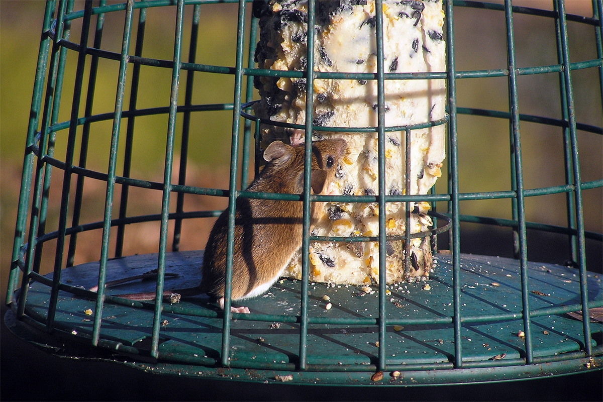
The mouse image yesterday, today and tomorrow has been identified as a Wood Mouse or Long-Tailed Field Mouse.