Saturday 30th August
Intermittent sunshine, between variable cloud on Friday, meant a dry day with the thermometer getting nearer the average with a maximum of 21.1C at 14.37, being -1.0C. Showers were frequent to the north and south of our area but none ventured over Marlborough. The rain on Thursday meant the soil is now damp down to a few inches but not sufficient moisture to encourage much growth or fresh planting, at least there was no intense sunshine to burn the shrivelled leaves of flowers and trees. A minimum of 11.8C was logged at 06.39 just after the sun should have risen over Marlborough at 06.16. However, a bank of fog had drifted in from the east during the early hours that obscured Savernake Forest and after 06.45 drifted in from the north, obscuring any sunshine.
By 07.45 on Saturday there were signs that the sun was beginning to thin the fog with a temperature of 12.8C by 08.00, the coolest start to a day at that time for a week. The humidity level was high again thanks to the fog with a reading of 94.9% at 08.00.
The newly arrived depression, to the north of Ireland and west of Scotland, has deepened over the past twelve hours and has edged closer with a centre pressure of 975mb. This deep pressure has produced a steep pressure gradient that will result in the wind increasing as the day progresses. Associated with this low pressure system are weather fronts that will cross our area today arriving around midday, in fact there are two warm fronts followed by a cold front that are likely to produce a few hours of precipitation during the afternoon.
The depression will hang around for a few days that will result in unsettled weather well into next week as by Monday the centre of the depression will be over Scotland and reluctant to leave us and could be joined by a possible, new, small unsettled area.
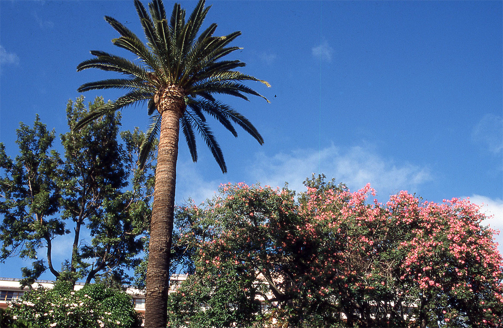
Although sunshine over the next few days will be restricted I will continue the sunny images from Madeira.
