Monday 27th July
There was slight relief from the excessive heat on Sunday as the maximum of 24.6C was only 1.6C above my long-term average due to more cloud cover in the afternoon resulting in the peak being earlier at 14.41. The variable cloud meant a mild night with the minimum of 14.8C logged at 02.58, being 2.8C above average. For the second consecutive day the wind from the west was brisk with a peak gust of 21 mph at 15.07.
Monday was initially cloudy that limited the sunshine until just after 07.30 that then began to shine strongly raising the temperature to 17.8C by 08.00. The cooler westerly wind will again moderate the heat today, combined with variable cloud, that is likely to peak just above average for July.
The recent Azores high will fight back again tomorrow pushing a ridge across the country that will result in increased heat with maxima rising above the heatwave threshold again, but just for two days. It will not be an official heatwave as temperatures are expected to drop back again from Thursday. The high pressure system will then ease eastwards allowing more cloud to drift down from a depression in the north that will limit sunshine on Thursday onwards. However, a mate of the anticyclone is developing in the Atlantic and easing eastwards that will try and join forces with our old anticline that will develop to form a large area of high pressure across the UK. Under higher pressure again the breeze will begin to die down with calmer conditions arriving tomorrow.
Although a cold weather front might possibly drift down from the north on Thursday, projected by the surface pressure charts, it is unlikely to contain much moisture thus we could have another dry week.
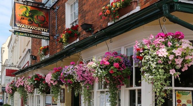
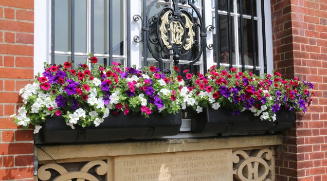
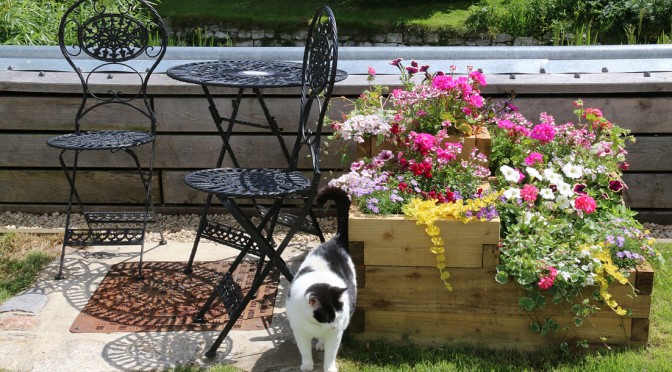
The measurable rainfall for July still stands at 0.2mm that fell on the 1st, that with little rainfall likely during the last days of the month would make it the driest July I have recorded since the station began in 1984. The previous minimal rainfall for July was recorded in 1999 with 10.1mm. How my garden would, have appreciated even 10mm this month! My 43-year average rainfall for July is 59.4mm.