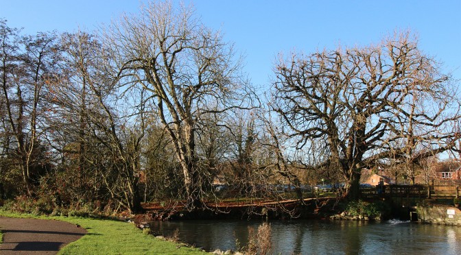
Today (6th December) was the sunniest day since 1st November and produced 6.19 hours of direct sunshine. This followed a sharp air frost when the thermometer dropped to -3.2C, which was the coldest night since 26th November 2013.
Category: News
-
Coldest day since January 2014
The thermometer struggled to each a maximum of just 3.8C yesterday, which is 3C below the long-term average for December. It was also the coldest day since January 30th 2014 that registered a maximum of 2.4C.
Overnight there was a slight air frost registering -0.2C although the advancing cloud cover this morning raised the air temperature to above freezing (+1.2C) at 0800. -
Sunniest day for almost a month
With a total of 4.84 hours of direct sunshine yesterday it was the sunniest day since November 9th. The flow of much colder, drier air from a northerly direction has meant humidity levels are lower and the wind strength produced a factor of wind chill for the first time since last winter. The wind chill reduced the actual air temperature to a perceived temperature lower by at least 2C all day.
-
November 10th month with above average monthly temperature
The last two days, with winds from a north-easterly direction, have brought a much drier air. At 0800 on the 2nd the humidity was 88%, the lowest at this time of day since August.
This year all months in Marlborough, with the exception of August, have produced a mean temperature above the long-term average. Most have been at least 1C higher with March being the warmest at +1.8C. The extreme was the summer month of August, which was 1.6C below the long-term average. -
Summary for November and Autumn 2014
November 2014 was in direct contrast to the last two years being warmer than average. The mean temperature was 7.6C, which is 1C above the long-term average. The warmest day was the 1st with a maximum of 16.4C but the opposite occurred on the 25th with a maximum of only 6.1C. It was the warmest November since 2011. An air frost was noted on four days with a minimum of -3.4C on the 25th.
An analysis of the diurnal temperatures shows a rising trend. Since the 1980s there has been an increase of over 2C in the range between the coldest night and the warmest day.
The rainfall total was 122.4mm, which is 136% of the long-term average or +31mm. This is far less than the record of 203.4mm set in 2002 but considerably more than the very dry November in 1990 which produced just 27.8mm. There were 18 wet days when daily rainfall equalled or exceeded 1mm. Again there has been a rising trend over the last thirty years in ‘wet’ days with an increase of two days a month since 1984 when my records began. The wettest day was the 11th when 14.8mm was recorded although there were seven days when totals ran into double figures. It has also been the wettest eleven months of any year with a total now of 1043mm when the annual average is 845mm.
The global sunshine was close to the average. Average soil temperature, at a depth of 5cm, was 7.5C with a minimum of 1.7C on the 25th. Fog occurred on four days but cleared by midday.Autumn 2014 was the warmest since 2011 being 1.2C above the long-term average. It was the third warmest I have recorded since 1984.
There were only four air frosts during the three months, the lowest occurrence in three years. In 2010 the record was set with 19 air frosts.
Rainfall for the three months totalled 256mm, which is just 14mm above the long-term average. The extremes were 401mm in 2006 and 116mm in 1985.