With another 9.1mm of rainfall in the last twenty-four hours the water meadows adjacent to the River Og have standing water for the first time this winter. The total rainfall so far this month is 36.7mm which has an average for the month of 91.9mm.
The maximum temperatures for the last two days have been 4C above the long-term average for January with 10.8C and 11.1C for the 7th and 8th January.
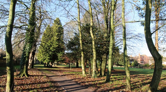
Yesterday saw welcome sunshine totalling 3.6 hours after 12 noon.
Category: News
-
Very mild wet spell
-
Nine consecutive days with rainfall
Following a dry period immediately after Christmas we have had nine consecutive days with rainfall, the heaviest daily total being 9.4mm on the 2nd with 7.5mm overnight. The succession of depressions arriving from the Atlantic have also brought overcast days with no direct sunshine, five days this year so far. The low pressure systems have also brought strong winds with a maximum of 37mph on the 1st and a peak gust of 33mph last night.
-
December 2014
December 2014 was another month with a mean temperature above the long-term average and was the eleventh month in 2014 above average, but only just at +0.1C. August was the only month with a below average mean temperature for the whole of 2014. The warmest day occurred on the 23rd with a maximum of 12.0C but in contrast there were two days when the thermometer struggled to reach 3.8C, namely the 4th and 28th. The coldest night was the 30th with a minimum of -6.2C.
There were 16 occasions when an air frost occurred, the greatest number since 2010 when I recorded 25 days with an air frost.
The soil at a depth of 5cm stayed unfrozen until the 30th and 31st when a reading of -0.2C was noted after two very hard frosts.
After many months with high rainfall, especially at the beginning of the year, December brought 57.9mm, some 62% of the 30-year average or 34mm below the mean. The equivalent water content of evaporation from plants, ground sources and water surfaces was 10mm that reduced the potential for rainfall to refill the aquifers during this winter season to around 48mm.
Global sunshine and hence Solar Energy was the highest since I installed these instruments in 2009. The total hours of direct sunshine for the month was 64.5 hours.
Fog was noted on just one day and sleet fell briefly during mid-afternoon of the 27th.
There seven days when the sky was so overcast that no UV was registered. The maximum of 0.6 was the lowest for December since this recording was started five years ago. -
An even harder frost overnight
The thermometer started to fall from a peak of 4.3C around 1430 hours yesterday to the lowest this year of -5.6C at 0600 today. The hard frosts and low minimum daytime temperatures recently have brought the soil temperature, at a depth of 5cm, to -0.2C. The is the first time since January that the soil has frozen at this depth.
Due to the intense high pressure over the UK the barometer registered 1043mb at its peak yesterday. -
Coldest night since April 2014
After 1430 hours yesterday, and during the evening, the thermometer dropped like a stone and reached a low just after midnight with a minimum of -5.1C. Any area with a hard surface near the edge of the town would have seen a reading as low as -6.1C. During the early hours the temperature recovered a little to give a reading of -2.4C at dawn today.
The hard frost was due to a significant rise in barometric pressure as an anticyclone settled over the UK with the highest reading since 8th February 2012 of 1040mb at 0800 today.