Windrush Weather

Month: February 2025

  • Back to dull, cool, gloomy weather with wind chill

    Back to dull, cool, gloomy weather with wind chill

    Friday increasingly came under the influence of the depression moving up from the Bay of Biscay to central France throwing large areas of cloud across the UK. Intermittent light drizzle was observed around midday with more moisture later in the afternoon with light rain beginning at 18.15. The thermometer struggled to reach the dizzying heights of 4.6C in the morning at 11.18 being a significant 3.6C below the February average. Mixed with the light rain in the afternoon, around 16.00, were small snow flakes that eventually produced a daily total of 2.5mm of precipitation.

    The strong winds from the northeast, combined with the low temperatures and humidity produced a significant wind chill that well into the evening meant it felt at least 2C cooler outside than that indicated on the thermometer, in fact it felt below zero outside.

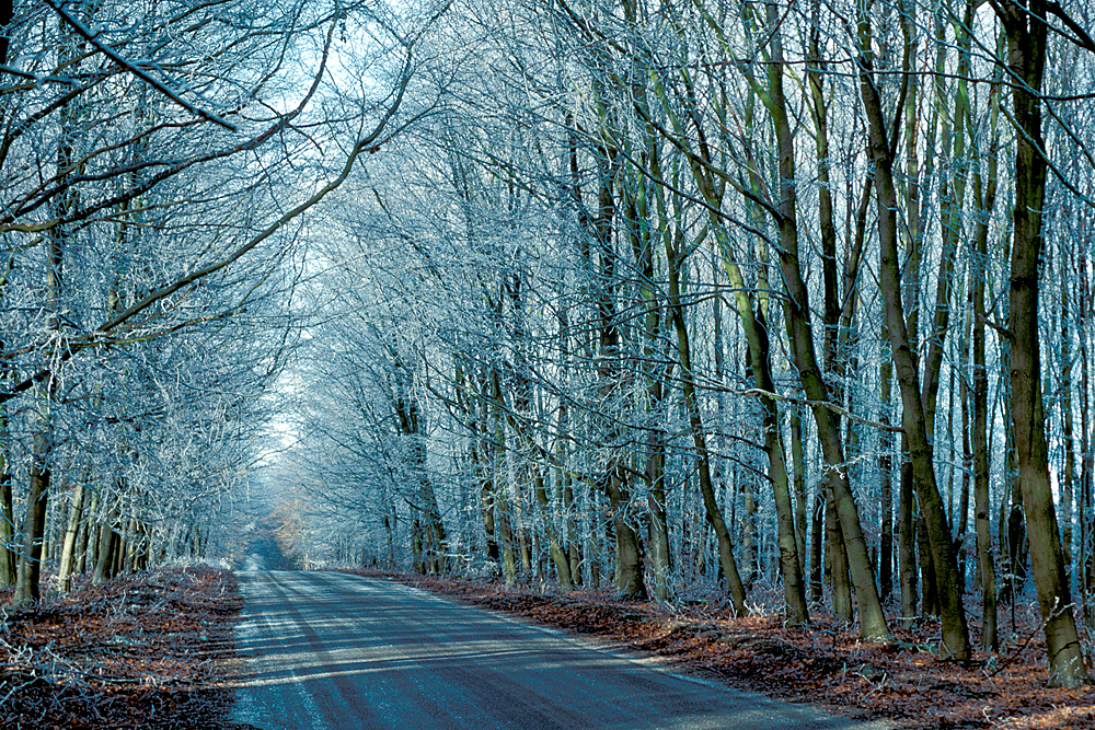
    Saturday struggled to come alive under very low, thick cloud that limited visibility to 500m masking the Marlborough Downs and Savernake Forest with the humidity reading 95% at 08.00, the highest at that time all week. Today the winds are much lighter, rarely getting into double figures, but wind chill is still a factor making it feel at least 1C cooler outside than indicated on the thermometer.

    During Friday there was a considerable pressure differential as the depression overcame the anticyclone that resulted in the winds gusting strongly to 30 mph on one occasion. The barometric pressure has fallen to its lowest since the end of January with a reading of 1016.2mb, a fall of almost 28mb since Thursday, that will result in lower wind speeds today.

    The nuisance depression will dominate our weather for today but from Sunday the large area of high pressure to the east will reassert itself and the the wind likely continue from the north east, however, unfortunately it will drag in cloud and moist air as it travels over the cold North Sea resulting in more dull days and depressed temperatures.

  • Perishing wind chill returns! However, no severe ‘Beast from the East’.

    Perishing wind chill returns! However, no severe ‘Beast from the East’.

    Acknowledgement.
    My long-term friend has rebuilt my website, for which I am very grateful, with more to do as his busy professional and family life allows. Therefore the website is not yet fully developed but is up and running with the major addition of the ‘live’ feed from my new professional weather station. Somehow the topical image has disappeared, but hopefully will reappear in the next few days, which is planned to be changed regularly from my own extensive photographic library as in the previous website.

    The brisk northeasterly breeze on Thursday depressed the temperature so that a maximum of 6.6C logged at 12.59 was 1.4C below the long-term average. The cloud cover was maintained overnight providing a blanket that minimised the loss of any warmth into the atmosphere so there was a drop of just 4C to a minimum of 2.1C at 01.54 following a temperature of 3.4C late evening at 21.02. The above zero temperature and brisk wind meant no air or ground frost formed.

    Friday revealed total, thick cloud cover and the northeasterly breeze having strengthen in the early hours with a maximum gust of 24mph at 06.31. The combination of brisk wind, lower humidity and low temperature has produced a wind chill so that the temperature of 2.7C at 08.00 felt more like 0.6C outside on the skin. The humidity at 08.00 read 84.2%, the lowest this month, however that is likely to increase as the thicker cloud and more moist air arrives later today.

    The synoptic charts on Thursday showed no indication of the depression that has formed off the north west coast of Spain and overnight has been throwing cloud across the country. The anticyclone was expected to show just a minor drop in pressure, however, the depression has caused a drop of 16mb in the last twenty-four hours. This depression is forecast to migrate northeastwards during the day, towards central France, much closer to us, thus increasing cloud cover and the likely hood of precipitation some of which could be of a wintery nature this afternoon when the air temperature hovers just above zero.

    Although today it is getting colder with the persistent northeasterly or easterly wind over the next few days it doesn’t look as if it will be exceptionally cold, according to the Met Office representative, for two reasons. “The winds are going to be coming up a little bit from the south. They’re going around the area of high pressure then dipping south before they cross the UK, which is important, as it means it won’t be quite so cold. The other reason is that the air over here just isn’t as cold as it would normally be”. “Across Poland, up towards the Baltic States and even into the western parts of Russia, there is less snow lying on the ground than we would expect at this time of year”.

  • Winter returns today – although the sun is shining, a cool breeze now from the northeast!

    Winter returns today – although the sun is shining, a cool breeze now from the northeast!

    I am indebted to my lifelong friend in Australia who voluntarily burnt the midnight oil in updating the website yesterday with a new template and added the ‘live’ feed from my latest professional weather station. There are a few more tweaks before it is fully operational, including an image, which has mysteriously disappeared!

    Wednesday brought variable light cloud that saw the thermometer reluctant to rise until after 09.30 but later in the brightness saw the temperature pick up to a maximum of 8.9C at 13.18, being 0.5C above average, before thicker cloud drifted across after 14.00. There was little air movement under the high pressure with a maximum movement of just 7mph on one occasion with the anemometer stationary for long periods.

    The barometric pressure has been building for the past twenty-four hours, tailing off in the early hours, as the intense anticyclone edged from the west over central England with its centre approximately 40 miles north of Marlborough. The pressure increased 8mb since yesterday to give a very high pressure reading of 1043.7mb at 08.00, being the highest pressure here since 6th February 2023.

    The temperature slowly ebbed away during the evening to reach a minimum -1.2C at 02.04 early Thursday that was 3.1C below the long-term average and produced an air frost.

    Thursday brought a glorious start to the new day with weak sunshine through thin high cloud but gained in strength as it rose higher. The high pressure will mean another calm day but the significant change is in the wind direction, which has veered from the northwest yesterday into northeast today that heralds the arrival of much cooler conditions.

    This expanding high pressure system will dominate our weather for the next few days with a cool northeasterly or easterly breeze that will see temperatures by day and night depressed.

  • Transition day

    Transition day

    The bright morning on Tuesday allowed the thermometer to rise to a maximum 9.9C at 14.19, being 1.6C above the long-term average, before the increasing cloud before midday, from a minor weather front, thickened and brought light rain that triggered the automatic rain gauge at 16.10 with precipitation amounting 1.1mm. The cloud then cleared with clear skies observed at 21.00. The lack of cloud overnight meant any warmth dissipated into the atmosphere with the thermometer consequently falling steadily with a low temperature of 1.8C logged at 08.00, being almost exactly average for February, after which the rising sun made the thermometer rise again.

    Wednesday revealed a sky with thin, high cloud, which meant that the sun was weak, but welcome. The cloud radar shows thickening cloud encroaching from the west that will limit sunshine today, but should be predominantly dry.

    Today is a transition day as the recent high pressure that ebbed away has been building again with a barometric pressure reading of 1035.7mb at 08.00, the highest since 13th November. This anticyclone will grow and extend towards Scandinavia and Russia that will see the wind, circling clockwise, bring a much cooler air stream from the northeast later today and for the next few days. In fact the forecast is for this anticyclone to dominate well into next week so a very, cool few days ahead with the maxima several degrees below the February average and likely night frosts. Be prepared for a touch of winter!

  • Last rain for a few days before it gets much colder

    The misty conditions persisted all morning on Monday until around 13.30 having thickened towards late morning when visibility was restricted to 500m. The afternoon brightened up as the clouds eased away eastwards that lifted the thermometer to a maximum of 10.7C at 14.33. The wind was light with a maximum gust of just 13mph on one occasion and predominantly from the south. After a low of 5.1C at 21.10 on Monday evening, being 4.8C above average, the temperature recovered a couple of degrees to reach 7.6C at 08.00 on Tuesday. The thick mist and drizzle just before and after midday produced 0.6mm of precipitation.

    Tuesday began with moderate levels of cloud that were beginning to thicken ahead of a weather front arriving around midday with this being the last of the rain likely for several days.

    The forecast is for the barometric pressure to build again after the weather front passes over today that will prevent further weather fronts arriving for several days, producing a blocking high. However, the downside will be the wind beginning to come from the east or northeast from Thursday that will see temperatures drop by day and night with overnight frosts after a bright and dry day on Wednesday with average temperatures.